UN
2 Abrams Way
£ 339,950
Description
We don't have a Description for this property.
- Bedrooms
- 2
- Bathrooms
- 0
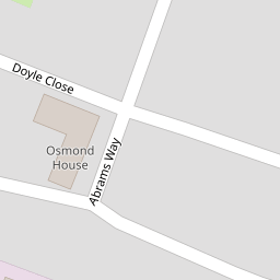

Leaflet © OpenStreetMap contributors
The heatmap indicates the level of crime in the area. The color of the heatmap indicates the crime severity and recency.
Metrics Year-on-Year
- Average area value
- 436,333.00 £Decreased by 35.99 %
- Average area rental value
- 1,469.00 £/moIncreased by 1.10 %
- Est rental Yield
- 4.04 %Increased by 57.81 %
- Crime Rate
- 3.00 %Unchanged by 0.00 %
from 681,667.00 £
from 1,453.00 £/mo
from 2.56 %
from 3.00 %
Nearby Schools
| Name | Type | Ofsted | Distance |
|---|---|---|---|
| Releasing Potential School | Other Independent School | Good | 0.20 KM |
| Bidbury Junior School | Community School | Good | 0.61 KM |
| Bidbury Infant School | Community School | Outstanding | 0.61 KM |
| St Thomas More'S Catholic Primary School, Havant | Voluntary Aided School | Good | 0.85 KM |
| Barncroft Primary School | Community School | Good | 1.33 KM |
Images
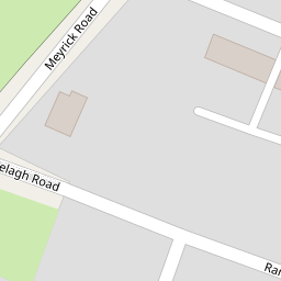
Nearby Streets
| Name | Average Price | Average Sqft | Distance |
|---|---|---|---|
| Brookside Road | £ 0 | 0 | 0.00 KM |
| Applewood Road | £ 0 | 0 | 0.00 KM |
| Park Road South | £ 120,000 | 0 | 0.00 KM |
| Cotton Way | £ 499,950 | 0 | 0.00 KM |
| The Mallards | £ 0 | 0 | 0.00 KM |
Nearby Transport
| Name | NLC | TLC | Distance |
|---|---|---|---|
| Bedhampton | 5538 | BDH | 0.28 KM |
| Havant | 5532 | HAV | 1.57 KM |
| Warblington | 5264 | WBL | 3.14 KM |
| Rowlands Castle | 5658 | RLN | 6.18 KM |
| Emsworth | 5257 | EMS | 6.31 KM |
Nearby Listings
| Address | Price | Type | Score | Distance |
|---|---|---|---|---|
| Ranelagh Road, Havant | £ 350,000 | BUY | 7 / 10 | 0.13 KM |
| Ranelagh Road, Havant | £ 200,000 | BUY | 6 / 10 | 0.15 KM |
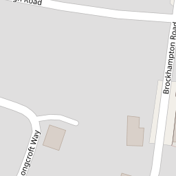
| Longcroft Way, Havant | £ 425,000 | BUY | 8 / 10 | 0.16 KM |
| Longcroft Way, Havant, Hampshire, PO9 | £ 450,000 | BUY | 8 / 10 | 0.18 KM |
| Knox Road, Havant | £ 340,000 | BUY | 7 / 10 | 0.18 KM |
Nearby Properties
| Address | Price | Distance |
|---|---|---|
| 2 Abrams Way | £ 339,950 | 0.00 KM |
| 10 Doyle Close | £ 321,500 | 0.05 KM |
| 8 Doyle Close | £ 292,000 | 0.05 KM |
| 4 Doyle Close | £ 314,950 | 0.05 KM |
| 21 Ranelagh Road | £ 269,950 | 0.13 KM |